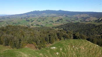
Ketemaringi Route
Description
The track climb steadily for 1 hour to Ketemaringi Trig, then turns south and descends easily down a ridge to emerge onto Totara Stream Road. It's a further 1 hour walk to the car park at the Totara Stream crossing.
Getting There
The track starts at the end of Ketemaringi Road. From SH 4 or SH 30, head to Waimiha. Turn into Ongarue Stream Road and follow this for 9 km, then turn into Okauaka Road. Follow this to the end and Ketemaringi Road.
Know Before You Go
NZTopo 50 map sheet: BG 34


