Description
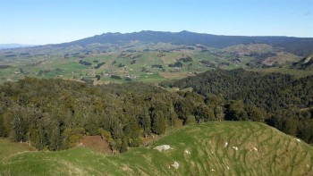
Along the way there are magnificent views overlooking the Hauraki Plains and Gulf, large areas of the Waikato, and hill country south of Auckland city.
The track traverses the length of the Hapuakohe Range. This is intersected by Ohinewai Road, which separates the northern and southern sections of the walkway.
You'll need to arrange a drop off or pick up from Ohinewai Road, depending on where you're planning to start and finish. There is no safe, established parking area on the road.
Hapuakohe Northern Walkway
Time: North Road to Ohinewai Rd – 8 hr
Distance: 13.3 km
The track is located at the end of North Rd off State Highway 27. There is parking here.
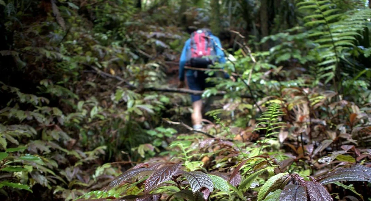
The track begins at a gate where there is a DOC sign. Follow the orange DOC marker posts across private land. The track leaves the farm road and climbs steeply through a private pine plantation to the bush edge. Once in the bush, the track is well marked.
There are two lookout points along the walkway:
- 1st lookout – 1 hour 30 minutes: 300 m above sea level the track leaves the bush onto a grassy clearing
- 2nd lookout – 3 hours: 400 m above sea level, with views which extend to the Huntly power station, Mt Te Aroha and the Hauraki Plains. The bush is comprised mostly of kohekohe and large puriri.
If starting at North Road, you'll need to arrange a pick-up for when you finish this section at Ohinewai Road.
Hapuakohe Southern Walkway
Time: Ohinewai Road to Mangapiko Valley Road – 6 hr
Distance: 9.7 km
A good walk that gives exceptional views of the Waikato and Hauraki areas.
You'll need to be dropped off as there is no space for parking on the roadside. Beginning on the south side of Ohinewai Rd the track starts with a steep descent to a small stream. Across the stream, the steep climb to the trig begins, ascending through regenerating bush of akeake, rewarewa, heketara, rimu, totara and manuka.
There's an exceptional view from the trig. The track sidles along a ridge to Pukeitionga Station (488 m), before descending to the Mangapiko Valley Scenic Reserve. As this section of the track crosses private land, you must stick to the marked route. Here, the bush canopy is predominantly tawa, kohekohe, pigeon wood and pukatea.
You'll need to arrange transport from the road end. There is limited room for parking at the end of Mangapiko Valley Road, in the paddock. Close the gate after you go through it.
Getting There:
Access the Northern Walkway from North Road
The track is a 6-minute drive from Mangatarata.
- Start on State Highway 27 from Mangatarata, signs for Matamata/Tirau.
- Take the first right onto North Road.
- Follow the road for 3 km until you reach the end of the road.
Access Ohinewai Road where the two sections meet
From Kaihere, it is a 13-minute drive to Ohinewai Road, where the track crosses the road and the northern and southern walkways meet.
- From Kaihere, go south on State Highway 27.
- Turn right onto Ohinewai Road.
- Follow the road for around 5 km. The road becomes a gravel road, and at the windy section you will come across a marked track.
Access the Southern Walkway from Mangapiko Valley Rd
- From Waiterimu, take the south-eastern Mangapiko Valley Road.
- Continue on the road for around 6 km until you reach the end of the road. There is limited parking in the paddock.
Know Before You Go:
Track suitable for experienced trampers only, due to steep, challenging terrain.
Track can be very slippery in wet weather.
Dogs
Dogs are prohibited from all Waikato area tracks except for certified guide dogs and permitted hunting dogs.
Hunting
Note there are two hunting areas this track goes next to or through. Hunters with permits may be using this track to access these areas.
You need to get permission from the landowner to cross private property to get to public conservation land if there is no public access. To hunt on private property you must also get the permission of the landowner.
All content and images courtesy of Department of Conversation.


